
A yellow alert has been put in place on Thursday, September 4, from 2am until 5pm as the weather conditions could cause some “localised flooding”.
The forecasters have warned that heavy showers and thunderstorms are expected to move northeast across parts of England and Wales throughout the day.
What to expect in North Yorkshire for yellow thunderstorm warning
The Met Office has shared that the areas included within the yellow weather warning for heavy rain and thunderstorms on Thursday should expect the following:
- Spray and sudden flooding could lead to difficult driving conditions and some road closures
- Where flooding or lightning strikes occur, there is a chance of delays and some cancellations to train and bus services
- There is a slight chance that power cuts could occur and other services to some homes and businesses could be lost
- There is a small chance that homes and businesses could be flooded quickly, with damage to some buildings from floodwater, lightning strikes, hail or strong winds
The forecasters explained: “Bands of heavy showers and thunderstorms are expected to move northeast across parts of England and Wales on Thursday.
“As showers progress northeastward they will become temporarily slow-moving, leading to an increased chance of surface water flooding.
Recommended reading:
- Hosepipe ban to remain in place during expected wet weather, says Yorkshire Water
- Met Office reveals the 21 storm names for 2025/26 - take a look at the full list
- How to claim a refund for delayed trains as storms expected to cause chaos
YOU’LL FIND MORE ON THIS STORY AND OTHERS AT www.yorkpress.co.uk OR PICK UP YOUR COPY OF THE NEWSPAPER ITSELF AVAILABLE SIX DAYS A WEEK AT YOUR LOCAL NEWSAGENT
 Amy Winehouse Band to Open at York Barbican for New Tour
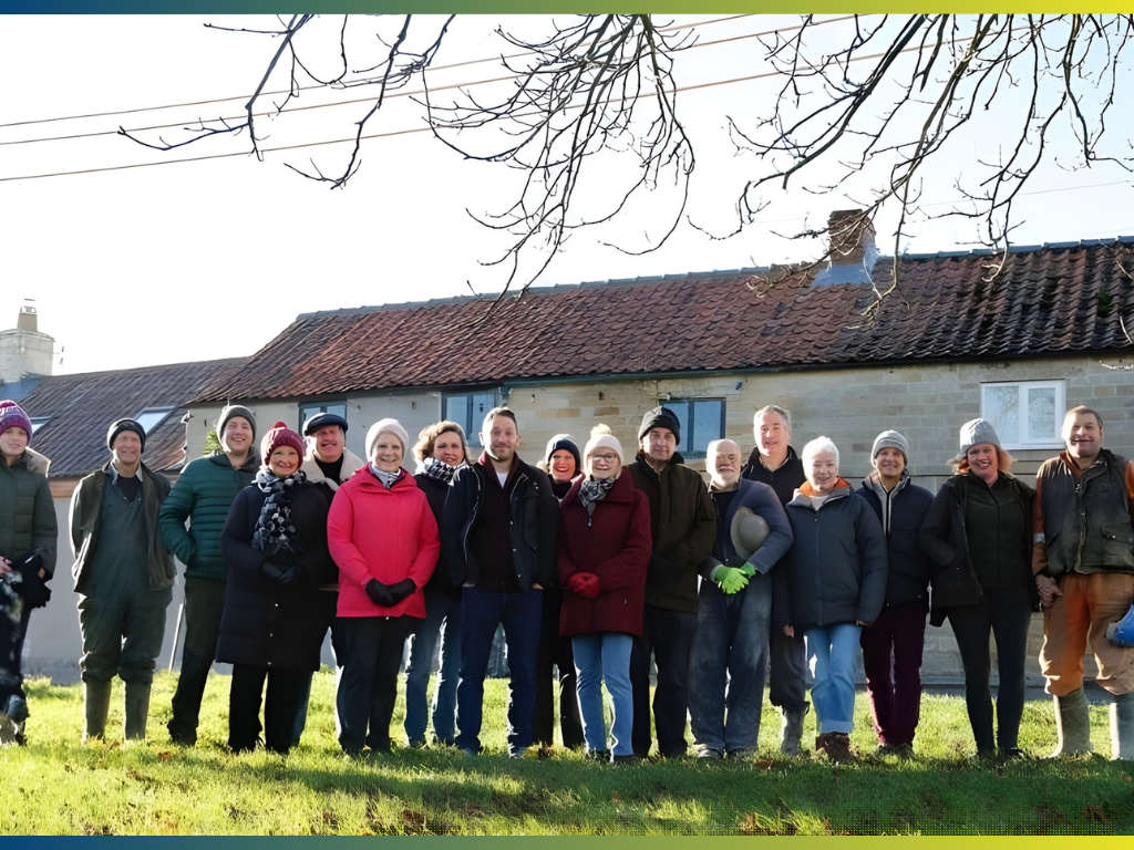 Comedian Jon Richardson Helps Boost Shares for Fadmoor Pub
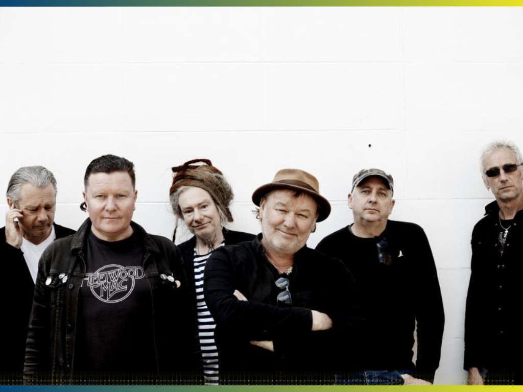 Levellers Announce New Show at York Barbican in October
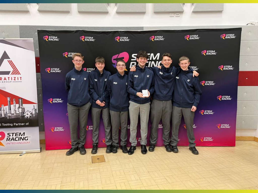 York And Scarborough Teams Top STEM Racing Regional Finals
 Seutonius Book to be Auctioned Off With Duggleby Stephenson
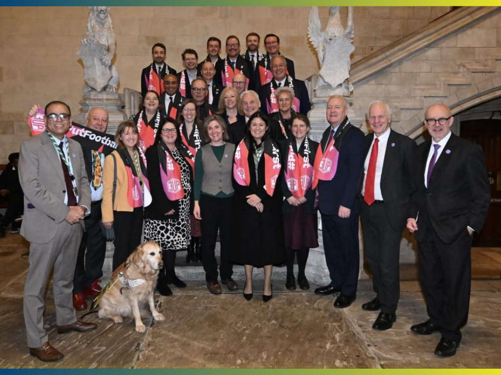 MP Rachael Maskell Backs Campaign for Fairer Football League
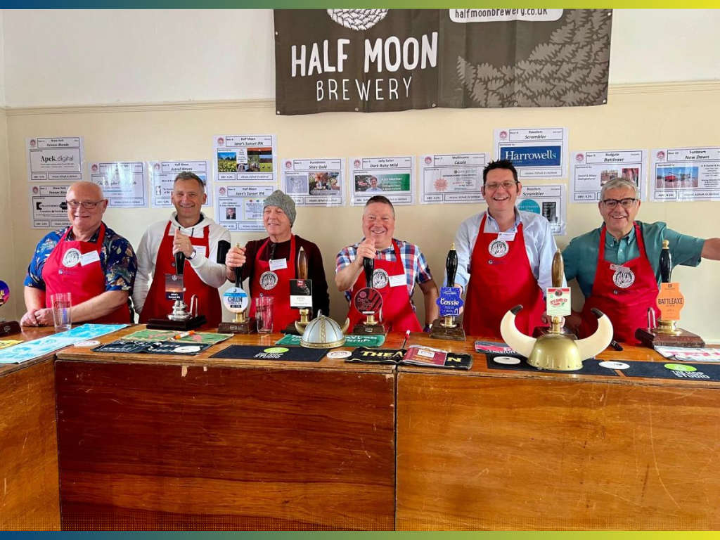 Stillingfleet Beer and Music Festival Launches Ticket Sales
 Jane Tomlinson Appeal Receives £4m Applications to Giveaway